
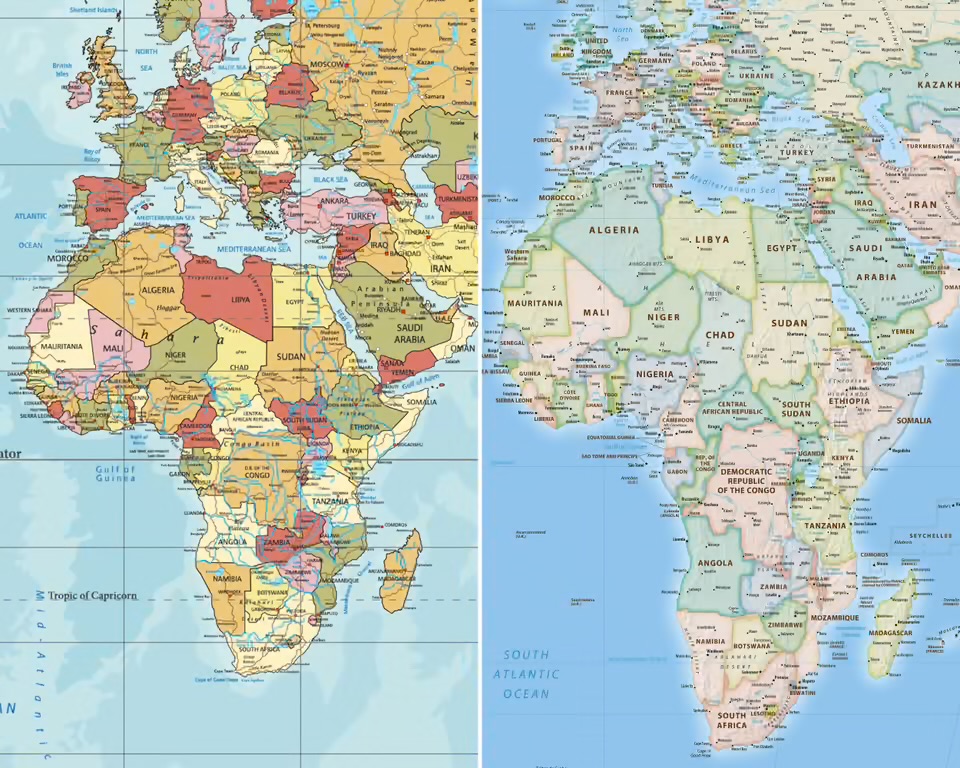
The United Nations General Assembly has approved a resolution calling for greater use of world maps that more accurately represent the actual size of continents, following a campaign led by Togo and supported by the African Union.
The resolution, adopted on Friday, September 4, received overwhelming support, with 164 countries voting in favour, one against and six abstaining.
The United States was the only country to vote against the resolution.
The initiative seeks to encourage a shift away from the widely used Mercator projection towards alternative map projections that provide a more accurate representation of the relative sizes of countries and continents.
The Mercator projection was developed by Flemish cartographer Gerardus Mercator in 1569 and was primarily designed for navigation. Although the projection is useful for sailors because it preserves directions, it significantly distorts the size of land masses, particularly those located farther from the equator.
Africa is one of the regions most affected by the distortion.
On a conventional Mercator map, Greenland can appear almost comparable in size to Africa. In reality, Africa is approximately 14 times larger than Greenland.
The Equal Earth projection, developed in 2018, was created to address this problem by preserving the relative areas of continents and countries more accurately.
Togo Leads African Campaign
The campaign for a change in the way the world is represented on maps was spearheaded by Togo through its #CorrectTheMap initiative and received backing from the African Union.
Togo argued that the way geographical information is presented can have consequences beyond cartography, particularly in education, culture, geopolitics and public perception.
The country’s Foreign Affairs Minister, Robert Dussey, has argued that geographical representation should reflect scientific reality and that Africa should not continue to be visually diminished by a map projection designed centuries ago for a different purpose.
The resolution acknowledges that disproportionate representations of land masses can have cognitive, educational, cultural, geopolitical and socioeconomic consequences.
Supporters of the campaign have argued that repeated exposure to distorted maps can influence how people perceive the relative importance and size of different parts of the world.
The debate has also revived discussions around what some scholars describe as “cartographic colonialism”—the argument that maps can reinforce particular historical and geopolitical perspectives through the way they represent territories.
Why the Map Matters
The campaign has developed into a wider discussion about how geographical representation influences people’s understanding of the world.
For generations, students across different parts of the world have grown up looking at Mercator maps in classrooms, textbooks, atlases and other educational materials.
Although the distortion was not originally created simply to diminish Africa, the visual result means that countries and continents closer to the equator appear considerably smaller than their actual land areas.
Supporters of the change believe that using equal-area projections would provide children and adults with a more accurate understanding of the world’s geography.
The argument has particular significance for Africa, where the continent’s actual size is often underestimated when compared visually with regions located farther north or south of the equator.
UN Resolution Not Legally Binding
Despite the significance of the vote, the resolution is not legally binding.
Countries, schools, organisations and technology companies are therefore not required to immediately abandon the Mercator projection.
Instead, the resolution encourages governments, international organisations, educational institutions and other stakeholders to promote map projections that provide more accurate representations of land areas.
The decision could nevertheless influence how geographical information is presented in educational materials, digital platforms and other public spaces.
France has already indicated that it intends to move away from the Mercator projection in favour of an equal-area projection known as Eckert IV.
US Opposes Resolution
The United States was the only country to vote against the resolution.
The US representative, Mike Waltz, criticised the initiative, questioning why the United Nations General Assembly was devoting attention to historical map projections.
The United States argued that the resolution was unnecessary and criticised what it viewed as the ideological dimension of the campaign.
Ukraine was among the countries that abstained from the vote, citing concerns about how the Equal Earth projection represents territories currently occupied by Russia and the implications for territorial sovereignty.
Beyond Cartography
For Togo and supporters of the campaign, however, the issue extends beyond the technical question of how to represent a three-dimensional planet on a flat surface.
The campaign has become part of a broader effort to challenge inherited representations of Africa and encourage more accurate portrayals of the continent.
Togo is expected to host an implementation event in Lomé in the first quarter of 2027, with UNESCO, the African Union and technology companies expected to participate in discussions on how the resolution can be put into practice.
The UN vote will not immediately change the maps used around the world. The Mercator projection is likely to remain in use for navigation and other purposes where its particular properties remain useful.
However, the decision represents a significant international endorsement of efforts to ensure that maps used for general education and public understanding provide a more accurate picture of the world’s geography.
For Africa, the debate could ultimately become about more than size. It raises questions about how the continent has been represented, who has historically shaped those representations and how Africans want their place in the world to be portrayed in the future.